Effectiveness of public transportation varies from town to town, but there are growing limitations to car use: the ZTL (“Zona a Traffico Limitato”) is an area where traffic is forbidden, so that only residents or business owners in this area can access it by car. All cities and towns have it, even some small villages like Pienza.
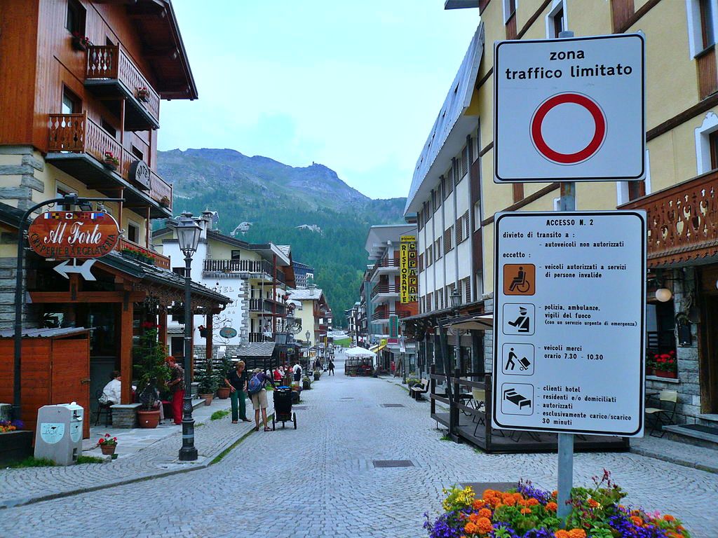
Car is definitely a burden for visiting a city, considering also the parking fees! All in all, many cities have Metro, even Catania or Genoa; but frankly, with the exception of Milan, these lines are not widespread enough to be of great use for the tourist; Rome, Milan and Florence boast a limited but very useful network of trams too. In many cases, bus is the main option for long in-city distances. Each line has different timetables, changing many times: weekdays/holidays and sometimes the day before a holiday, winter/summer or else.. worse, local transportation companies are not big on digital. The best ally is the app MOOVIT, that mainly provides solutions for public transportation in the city, and better than Google Maps as the real-time news of MOOVIT are updated often and include temporary bus diversion and other local information. You can use the positioning function to view the location of the surrounding train/subway stations or check where a certain bus route passes.

In any case you need to walk a lot in Italy, as many visits or important places are few hundreds meters distant and locals are suspicious of excessive comfort if you ask them for directions, like arriving RIGHT IN FRONT of a museum or parking THE CLOSEST to a church. Traveling to Italy will probably be the holiday during which you have walked the most in your life, and regretted those old comfy shoes you left at home. More seriously, Italian cities are very ancient and centres were meant for horse traffic at most; nobody (thankfully) would tear down a couple of Renaissance palaces just to make a boulevard, and buses have proven to be of great damage to monuments in terms of pollution, on top of a big risk to people walking in small roads.
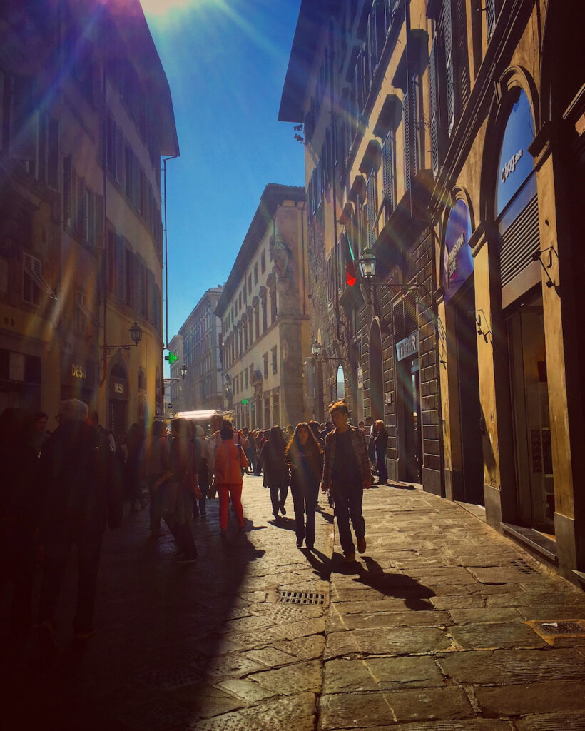
Taxis are a valid option to move between the city and its outskirts, like airports or few remotes sightseeings; but in general, even if they may access every area and have many reserved lanes, they are all but immune to traffic. Taxis in Italy are quite expensive too, so going to and from airports is their main use; in that case there is no need to reserve it in advance (they station at airports). If you use them anywhere else, mind that each city has one or more companies, operating quickly the”Radiotaxi” service or taxi APPs (like Apptaxi, Freenow, it Taxi…) getting to you in few minutes. Beware of N.C.C. cars posing as taxi, as their service is clearly even more expensive, and suits more a special day trip in remote area that a typical “from A to B” city situation.
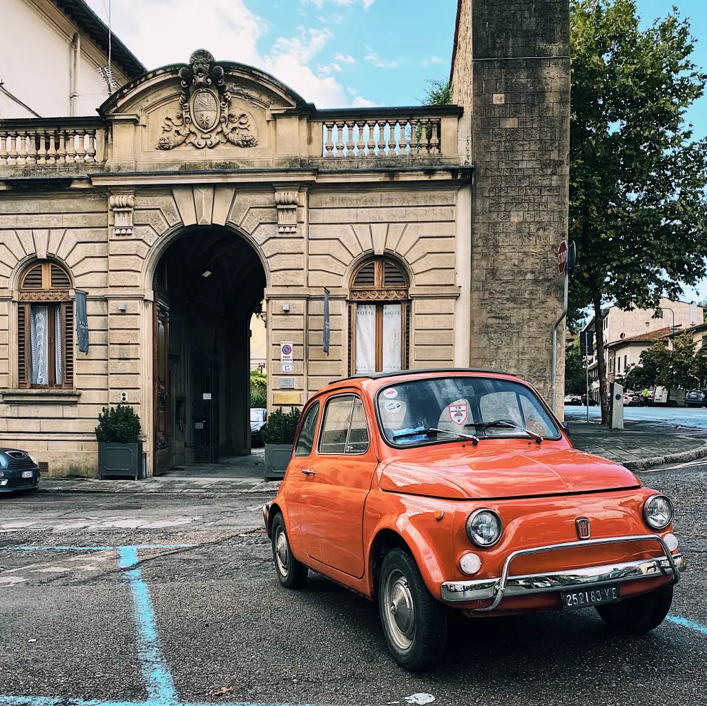
Car rental is not recommended in case you visit just the big cities, being instead a blessing for a small road trip during which you can connect 2 or 3 main visits with the endless wonders of the Italian provinces (make sure it is a ring itinerary as companies charge the vehicle return to base). Between Rome and Florence you can see Siena, Orvieto, Pienza, Viterbo, Perugia just to name the most famous ones. With the exception of the Islands, where local companies are the best deal, trust big franchises like Hertz or Avis for renting: if you keep your preferences low, like medium cars and almost full insurance, you can get very convenient solutions (below 40 eur a day).
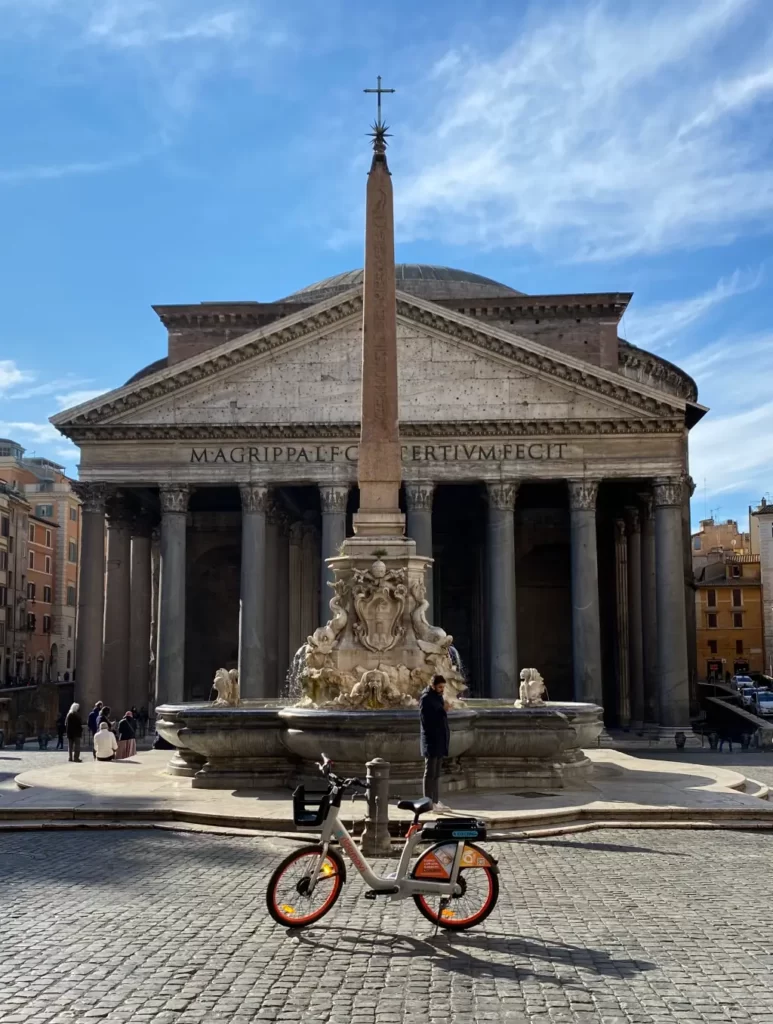
The most recent city transportation solutions are push scooters and electric bikes, both readily available on the street side and rentable via App at good rates. The former are not convincing: factors as bumpy roads, ever-changing regulation (need helmet, maybe even insurance depending on the city you use it in) and the flimsiness of reserved lanes make them a source of trouble more than anything. Bikes are more viable, even if for just some specific itineraries: their inherent sturdiness (they are heavy and one-fits-all bikes) make them reliable but hard to push on a Florentine hill or along a jammed Roman boulevard!
For directions, GoogleMap is a very good workhorse, very steady for calculating routes and exceedingly fast. In our opinion, it gets a bit messy in Italian cities as small shops, city offices and endless bars crowd the map; and sites position is not flawless. We humbly suggest our own, free App that highlights a manageable amount of notable landmarks on the very same map, from where you can easily access a travel guide with a solid description, image gallery and some more for each landmark. ItalyEncounter is also useful as not only unravels a destination without “universal” informations and redundant details, but introduces you both popular and niche places in Italy. It is slowly but constantly updated, adding hidden gems, honest restaurants, authentic shops and historical craftsmen so tourists do not get confused or worse, fooled by the many greedy business dotting the splendid Italian cities. Moreover when you see a visit, restaurant or shop you want to go to, you can bookmark it to make your own itinerary and notice other places you may like nearby.
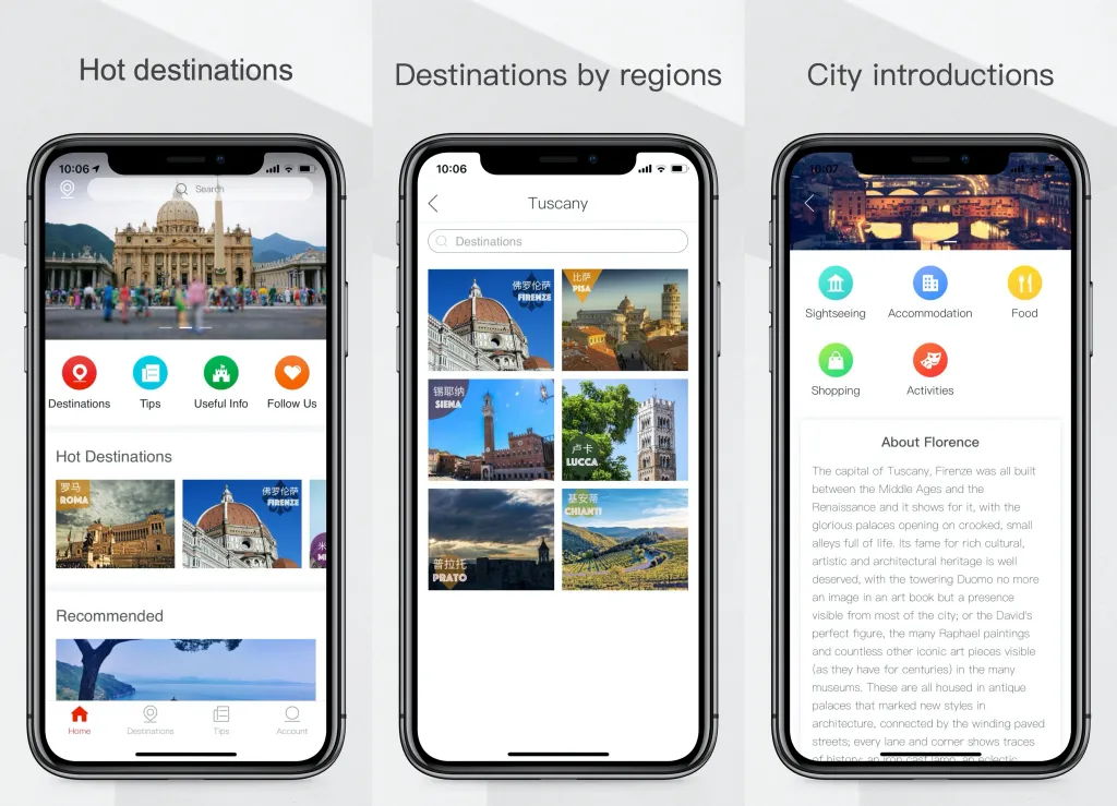
To download the APP, you can directly search for ItalyEncounter in the Appstore or GooglePlay, or scan the QR code below to download it.
